Aomori
OIRASE KEIRYUOirase Gorge
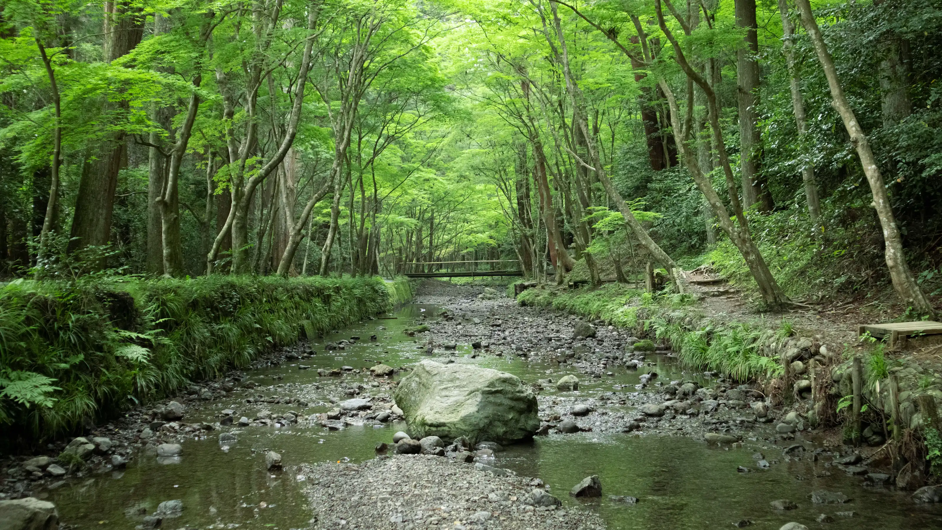
Old-growth forest and cascading waterfalls along Aomori's Oirase Gorge — autumn foliage, spring greenery — a hidden valley unfolding along a 14-kilometer walking trail.
- Region
- Aomori
- Best Season
- Autumn、Spring
- Difficulty
- Moderate
- Suggested Stay
- Recommended stay: half a day–1 day
- Best Suited For
- Photography enthusiasts、Nature hikers、Couples
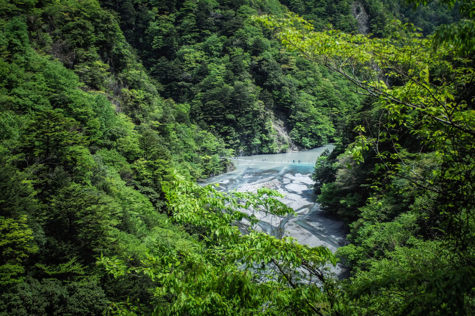
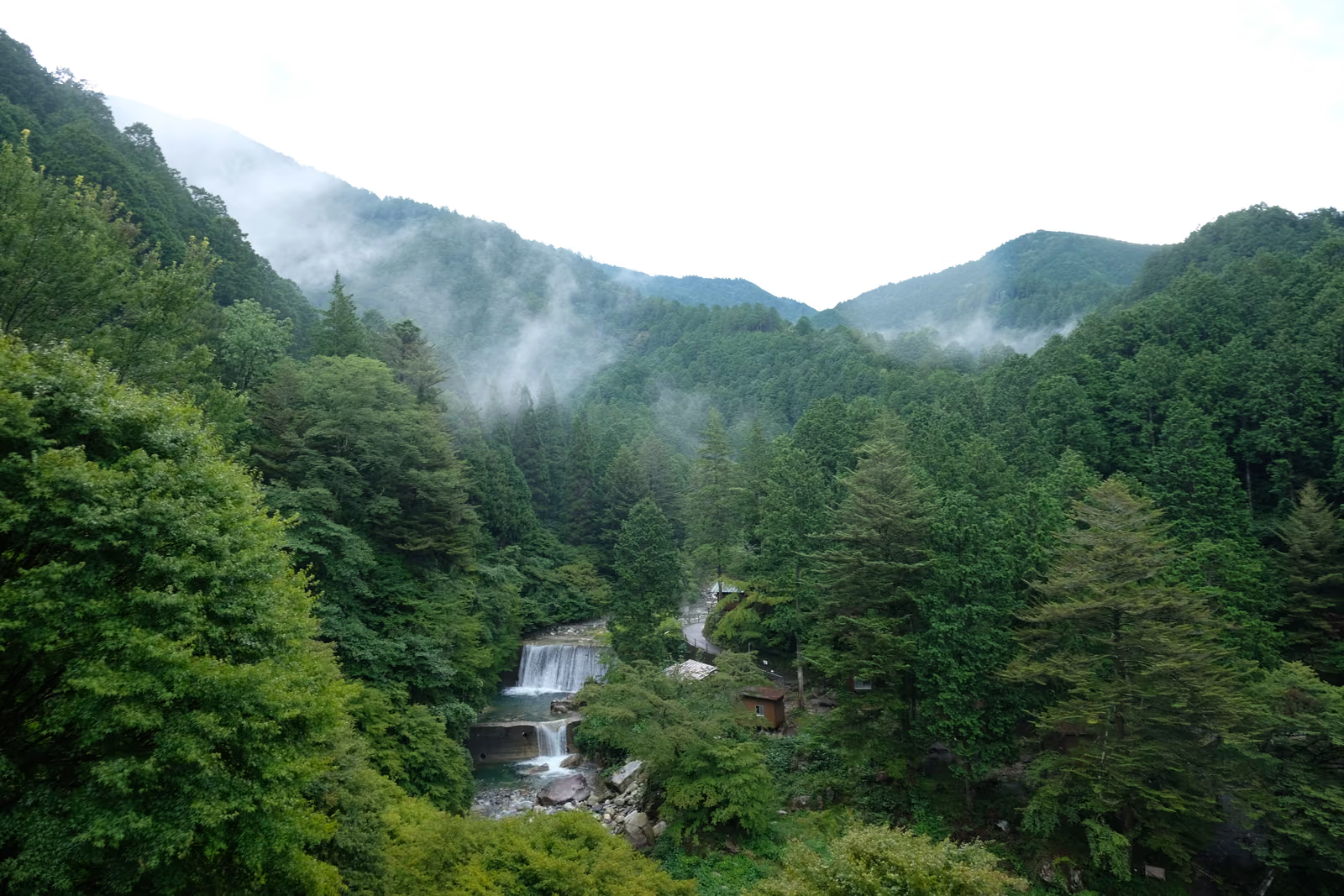
Oirase Gorge lies in southern Aomori Prefecture, formed by the outflow stream of Lake Towada, with about 14 kilometers of walking trail running along its banks from Nenokuchi to Yakeyama. The stream winds through old-growth forest and moss-covered boulders, forming a series of waterfalls with modest drops but abundant flow — among them Ginga Falls, Shiraito Falls, and Ashura-no-Nagare — making it one of Honshu’s rare stretches of untouched gorge scenery.
Of the four seasons, autumn (mid-October to early November) is best known for its foliage: maple, rowan, and birch layer their colors in reflection on the stream, making this the busiest stretch of the year at Oirase. In spring (late April to May), fresh greenery emerges and moss turns a vivid green after rain. In summer (June to August), the gorge stays cool and the stream runs full with snowmelt and rainfall. In winter (December to March), some sections of the trail ice over and the waterfalls grow icicles, so extra care against slipping is needed when walking the path.
The main photography spots are the Ginga Falls viewpoint, the stream bend near the Ishigedo rest area, and the stretch near Yakeyama where the current weaves among boulders. Under the soft light of an overcast day or right after rain, the color layers of the water and moss come through more clearly, while the harsh light of midday tends to cause overexposed glare on the water’s surface.
To get there, buses bound for Lake Towada run from JR Shin-Aomori Station or JR Hachinohe Station, taking about 2 hours to reach the trail’s various entrances (Nenokuchi, Ishigedo, Yakeyama); in winter, some services are reduced or suspended due to snow. The full trail runs about 14 kilometers, and most visitors walk only a portion of it, boarding and alighting the bus at different entrances.
The difficulty of independent travel here lies in the limited, season-dependent bus schedule — during peak autumn foliage season, road congestion and full buses are common; Chinese-language signage is scarce along the trail, and some sections are slippery enough to need waterproof footwear; combining Lake Towada with the gorge in one visit requires planning bus timetables and walking segments in advance, leaving little room for error in the itinerary.
Gallery
You May Also Like
Add WeChat, and let's talk about your trip
A journey into hidden Japan — made for you alone.

YUGEN-JOURNEY(In WeChat, press and hold the QR code to scan, or tap the button below)
Service Boundaries
- You book your flights and hotels independently: I provide a custom illustrated itinerary as reference, but I do not take part in the booking process and do not collect or forward payment on your behalf.
- For ground transport, I help connect you with a licensed charter company (green-plate vehicles); you contract and settle payment directly with them, and I accompany you throughout the ride.
- I am a Mandarin-speaking private guide (the studio's sole operator), not a travel agency; the only fees charged are for guiding/companion services and photography services.