Hokkaido
SOYAWakkanai, Rebun & Rishiri
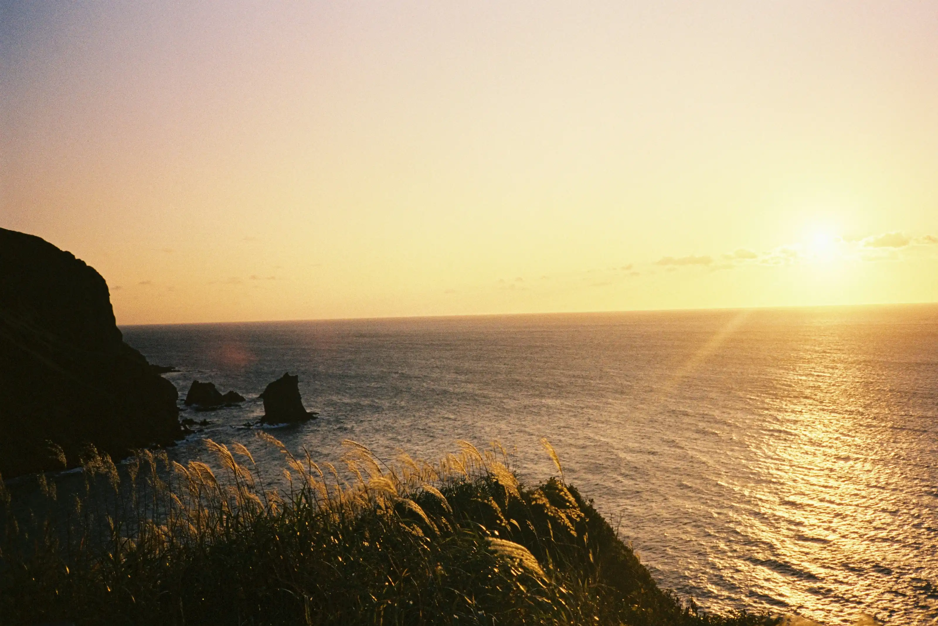
Japan's northernmost cape at Soya, the alpine flowers of Rebun Island, and the cone of Rishiri Fuji — three far-north destinations that summer ferries string into one route.
- Region
- Hokkaido
- Best Season
- Summer
- Difficulty
- Moderate
- Suggested Stay
- Recommended stay: 3–5 days
- Best Suited For
- Hikers、Photography enthusiasts、Solo travelers
Wakkanai sits at the northern tip of Hokkaido, the main city of the Soya region and home to the port and airport that serve the islands of Rebun and Rishiri. Cape Soya lies about 30 kilometers east of town, marked by a monument to the northernmost point in Japan. Rebun and Rishiri float in the sea to the west — two separate islands, unconnected to each other by land, both reached by ferry from Wakkanai Port, with a further crossing running between them. The three places are cut off from one another on land, yet these sailings make them a single route you can travel end to end. That is why they share one page here.
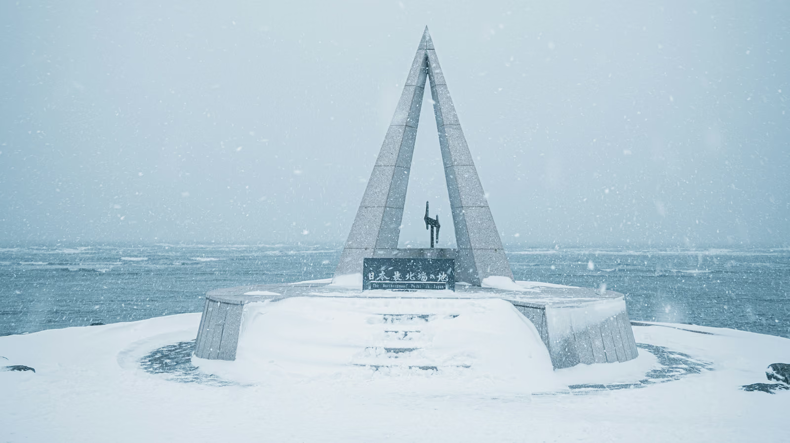
The monument at Cape Soya is a triangular stone tower shaped after the North Star; when snow falls in winter, tower and sea behind it disappear together into the same pale grey. Inland from the cape lie the Soya Hills, a rolling landscape between 20 and 400 meters in elevation, shaped by the repeated freezing and thawing of the ground through the ice age — landforms of this kind are called periglacial, and these are listed as Hokkaido Heritage. Cattle graze on the slopes among rows of wind turbines. Back toward town, the North Breakwater Dome was built between 1931 and 1936: a half-arched colonnade 427 meters long, standing some 14 meters above the sea, its 70 cylindrical columns spaced about 6 meters apart. It was built to shelter passengers at the old Wakkanai pier station.
Rebun is known as the floating island of flowers. Alpine plants that on Honshu grow only above 2,000 meters spread across its coastal hills here at close to sea level, a consequence of high latitude, cool summers, and wind off the sea year-round. Several plants carry Rebun in their names; among them the Rebun edelweiss (Leontopodium discolor), about 15 centimeters tall, is the town flower of Rebun, blooming from late June into August. The hills from the Momoiwa viewpoint toward the Motochi lighthouse hold the densest flowers on the island, and there are further routes along the Rebun forest road and an eight-hour traverse. On the west coast, the water at Cape Sukai runs clear, and Neko-iwa is a sea-worn rock in the shape of a crouching cat.
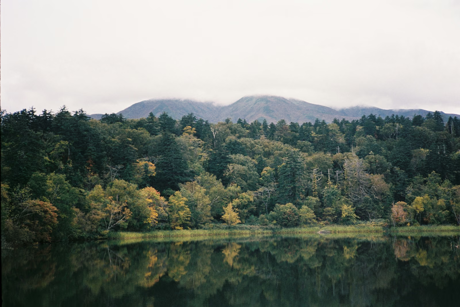
Rishiri is essentially the part of one volcano that rises above the water. Mount Rishiri at its center reaches 1,721 meters and is called Rishiri Fuji for its clean conical profile; it is the northernmost of Japan’s hundred famous mountains. Himenuma and Otatomari-numa are two ponds from which the mountain is visible, and when the weather cooperates its full reflection appears on the surface — though the summit is clouded much of the year, and days with a clear reflection are not many. The road around the island can be cycled or driven in a day. For the summit, the Oshidomari route runs about 8.4 kilometers from the northern foothill campground, roughly 6 hours up and 4 and a half down, a full day’s outing; the climbing season runs from early July to mid-September.
Getting there: from the direction of Sapporo, the JR Soya Line limited express reaches Wakkanai in about 5 hours, or it is roughly an hour by air to Wakkanai Airport from New Chitose or Okadama. Wakkanai Port to Kafuka on Rebun takes about 1 hour 55 minutes, to Oshidomari on Rishiri about 1 hour 40, and the Kafuka–Oshidomari crossing between the islands about 45 minutes. The islands are reached by ferry, or by air to Rishiri Airport instead. Sailings vary by season — several a day in summer, sharply fewer in winter — and are suspended when the sea turns rough.
The difficulty of travelling here independently lies not in any one sight but in several variables stacked together: flight and ferry timetables both shift with the season; Rebun’s flowering concentrates between late June and August, so arriving early or late means seeing entirely different plants; weather at sea decides whether a ferry sails at all, and a single cancellation can disrupt both the link between the islands and the journey home afterwards; public transport on the islands is sparse, and getting from a port to a trailhead often needs separate arrangement. Beds on both islands are limited in number, too, so the summer flowering and consecutive-holiday periods have to be settled far in advance, leaving little room to adjust on short notice. Without local experience, it is hard to judge before departure which part of a plan is the fragile one.
Gallery
You May Also Like
Add WeChat, and let's talk about your trip
A journey into hidden Japan — made for you alone.

YUGEN-JOURNEY(In WeChat, press and hold the QR code to scan, or tap the button below)
Service Boundaries
- You book your flights and hotels independently: I provide a custom illustrated itinerary as reference, but I do not take part in the booking process and do not collect or forward payment on your behalf.
- For ground transport, I help connect you with a licensed charter company (green-plate vehicles); you contract and settle payment directly with them, and I accompany you throughout the ride.
- I am a Mandarin-speaking private guide (the studio's sole operator), not a travel agency; the only fees charged are for guiding/companion services and photography services.